Mueang Sing Historical Park
The surviving Khmer-influenced sanctuary and walls reveal an earlier chapter of the region, centuries before the wartime railway.
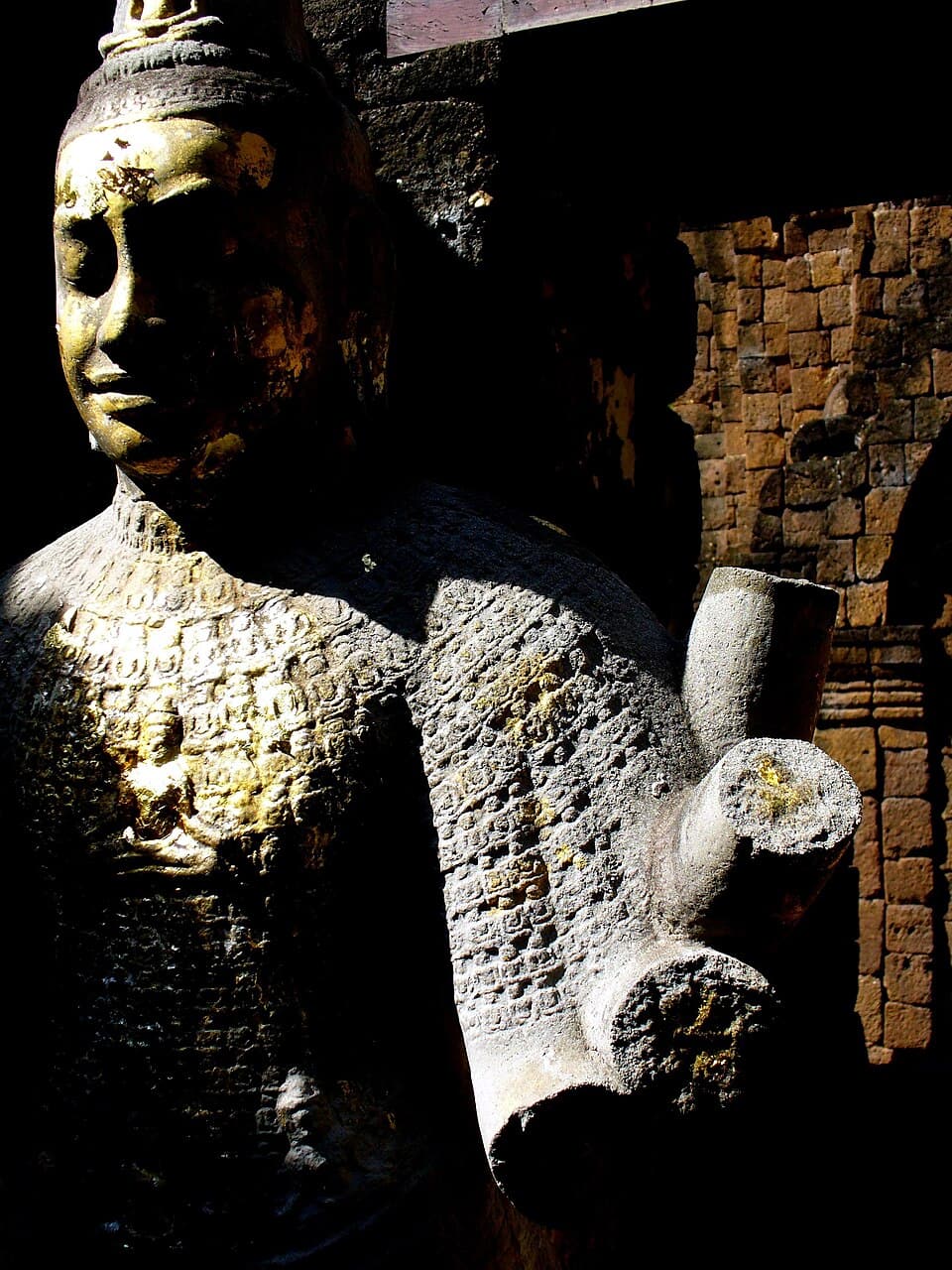
About Mueang Sing Historical Park and its management
Mueang Sing is a designated historical park under the Fine Arts Department of Thailand. The heritage authority oversees conservation and archaeological interpretation.
Why this stop matters
Laterite walls, the rectilinear enclosure and Khmer-style sanctuary reveal historic town planning and religious architecture along the western frontier.
What to photograph and notice
Frame the laterite gateway and sanctuary with the surrounding ground plan visible. Morning light reveals the texture of stone without harsh overhead shadows.
How to plan your visit
This archaeological site is away from central Kanchanaburi; arrange transport and allow time for the site museum and shaded rests.
Combine it with the River Kwai Bridge
Check the exact location on the dedicated map below. Compare travel time from the bridge and leave enough time for your return; outlying attractions may need a separate trip.
History and character of this place
Mueang Sing preserves archaeological remains of a fortified settlement shaped by Khmer-influenced art and architecture. These ruins predate the Second World War railway by centuries and reveal another historical layer of the Khwae Noi valley.
Basic information
- Place name
- Mueang Sing Historical Park
- Attraction type
- Historical and archaeological site
- Location
- Sai Yok District, west of Kanchanaburi town
- Suggested visit duration
- Allow 1–2 hours on site, adjusting for heat, mobility and crowds.
- Management
- Mueang Sing is a designated historical park under the Fine Arts Department of Thailand. The heritage authority oversees conservation and archaeological interpretation.
Opening hours
Check the venue’s latest opening notice before departure; exhibits and services may have separate schedules.
Ticket prices
Confirm current admission and concessions directly with the venue. Do not rely on old posted prices.
Getting there
Use road transport to the archaeological park near the railway corridor; allow time for the grounds and interpretation.
Recommended route
- 1
Arrive at the correct entrance
Use road transport to the archaeological park near the railway corridor; allow time for the grounds and interpretation.
- 2
Explore the main features
Laterite walls, the rectilinear enclosure and Khmer-style sanctuary reveal historic town planning and religious architecture along the western frontier.
- 3
Observe and photograph thoughtfully
Frame the laterite gateway and sanctuary with the surrounding ground plan visible. Morning light reveals the texture of stone without harsh overhead shadows.
Visitor guidelines
Check the day’s weather and posted notices, bring drinking water and wear stable footwear. Follow site staff directions, avoid restricted zones and respect worship, remembrance or wildlife spaces as applicable.
Photography locations
Frame the laterite gateway and sanctuary with the surrounding ground plan visible. Morning light reveals the texture of stone without harsh overhead shadows.
Where to stay
For a trip focused on the bridge, museums and cemetery, staying in central Kanchanaburi makes transfers easier. For farther attractions in Sai Yok or Si Sawat, compare travel time carefully with riverside lodges and confirm return transport before booking.
Visitor reviews
Read the latest visitor reports, photos and current access information on the specific Google Maps place listing. Ratings change over time and are not reproduced as a fixed score here.
Latest rating and reviews →Open this place in Google Maps
Sai Yok District, west of Kanchanaburi town · Mueang Sing Historical Park
Open this place in Google MapsFrequently asked questions
What should I know before visiting Mueang Sing Historical Park?
This archaeological site is away from central Kanchanaburi; arrange transport and allow time for the site museum and shaded rests.
Can I visit this together with the River Kwai Bridge?
Check the exact location on the dedicated map below. Compare travel time from the bridge and leave enough time for your return; outlying attractions may need a separate trip.